Wednesday, February 27, 2013

"If It's Tuesday it Must Be . . . Nippers"


After 4 days in Green Turtle, it was time to head for Whale Cay Passage to explore a few more Abaco islands. All told, we had two nights anchored in White Sound, and two nights in a slip at the Green Turtle Club. Before we leave GTC,  I forgot to mention the "eat your dockage" deal at the GTC and at the nearby Bluff House.  Whatever you pay for docking, you get to eat for free at the resort!  Hard to pass that up. 

The other thing we stumbled upon is that our soon-to-be hosts at Pineapple Point in Treasure Cay, Stacy and Ian Phillips, also recently acquired the Bluff House and are in the process of renovating the resort, which is already pretty spectacular:


Bluff House, White Sound side


Bluff House, Sea of Abaco side


Susan at Bluff House


 On Tuesday, February 12 it was time to say goodbye to Green Turtle Cay.  We got the daily Cruisers Net report for Whale:  No chop and gentle rolls!  That is good news, because this passage is infamous for being at times unpleasant and occasionally outright dangerous to unpassable.  As it turned out the passage was easy, and beautiful.  But every 7 seconds or so, you get reminded of how powerful the ocean's rolls really are, as they go crashing into the Whale Cay rock shoreline:


Returning back from the brief foray into the Atlantic, you pass through Loggerhead Channel and around Great Guana Cay.  Another ship aground reminds us of the hazards that you can easily succumb to if you're not paying attention:

Wreck off the north tip of Great Guana Cay.  Pipe marks the now abandoned cruise ship channel.
At lunchtime we anchored in Fishers Bay. Unfortunately the wind was from the west and was to stay there all night, leaving this anchorage exposed. So in the afternoon we  relocated to Orchid Bay Marina in Settlement Harbor.  Surprise, surprise--$0.50/foot dockage special!  Once again, hard to pass up!  In the afternoon we walked to the beach at Nippers for snorkling and lunch #2.

The Beach at Nippers

at Nippers!


Sunset at Orchid Bay Marina

Saturday, February 23, 2013

Spanish Cay and Green Turtle Cay

On Thursday, February 7 we set off for our first Abaco island, Spanish Cay.  The winds built to 15-20 kts from the east, and after a fast but all-too-short beam reach we quickly rounded the south tip of Great Sale and then turned the nose of the boat back into the wind for more motor sailing! 

By around noon, and about half way to the northern entrance to the Sea of Abaco, we passed just to the south of West End Rocks.   Looking ahead we saw a distinctly different patch of lighter color water.  On our chartplotter's charts, all was well, with depths showing greater than 15'.  Plus, we had heard of a peculiar phenomenon, called "fish muds."  These are areas that simulate the light color of shallow water, and are thought to be caused by fish stirring up the bottom while feeding.  Armed with the "knowledge" of the chartplotter depths at this spot and knowing about the false shallows caused by the fish muds, I called "fish muds" out to Susan, and kept one eye on the water and the other eye on the depth readings:  "10 ft . . .9ft . . ." then "THUMP!"

We quickly throttled back to neutral and turned 90° to starboard, and the water immediately deepened, both in color and on the depth sounder.  Once we regained our confidence, we turned back on course.  But we also immediately reviewed the Explorer chart, and low and behold this chart showed a "shifting sands" warning right where we had touched the bottom!  Valuable lesson learned.  From then on, and just as we had done the day before for Memory Rock, every route we planned was cross referenced with our cruising guides and especially with the Explorer charts!


"See that line of shallow water out there?  That shallow water is shallow water!"


On our way to Spanish Cay we also saw the first sign of hurricane damage:


 We were told this yacht was blown up the Sea of Abaco and landed aground on this rock formation.


We got to Spanish Cay at 1630 and tied up at the docks.  We learned that this little island is still rebuilding following Hurricane Sandy.  Although the marina is open, the restaurant and the resort itself is still closed for repairs.   Nevertheless, the island's beauty could not hide from us!


Next morning we set off for Green Turtle Cay.  We sailed on a fast beam reach along the eastern side of Great Abaco Island to get there.  Besides anchoring outside the island, there are three harbors within GTC:  White Sound, Black Sound, and Settlement Harbor.  Settlement Harbor is at the town center, commercial and very shallow.  Black Sound is deeper, but still dubious for us. White Sound has a channel that looked good to us for a near-high tide entry, at around 6pm. So we needed to find a place to anchor for the afternoon.  Just south of GTC is No Name Cay which is uninhabited (except for the pigs!) and has a protected anchorage on its northwest corner with plenty of water.  Just after we anchored the skies darkened and we experienced  a brief squall with a pretty intense downpour. 


Just as quickly as it came, the skies lightened, and the sun and the pigs came out!


We drained then lowered the dinghy, and set out to explore the island, landing on the island's north end on the Sea of Abaco side:


On the ocean side of the island there was still a lot of debris left by the hurricane: 

Looking north

Looking south, toward Whale Cay Passage


Lone boat at anchor, waiting for the tide to rise.


When we returned it was time to raise the anchor and head to the entrance to the White Sound channel over at Green Turtle Cay.  We entered the channel at around 6, just as planned, and we were thrilled to see at least 8' depth at the entrance, and mostly 9's and 10's along the way.  And plenty of room and water within White Sound:


Boats in White Sound, Bluff House docks in the background

The next three days we hung out both in the harbor and docked at the Green Turtle Club, mainly because we had to wait for the seas to calm in the Whale Cay Passage, to go any further south in the Sea of Abaco.  OK by us!


Ocean Beach


More hurricane damage


British Loyalists Statue Garden


Library
Post Office
Fire Department


Susan in Coco Bay


Low tide at Coco Bay


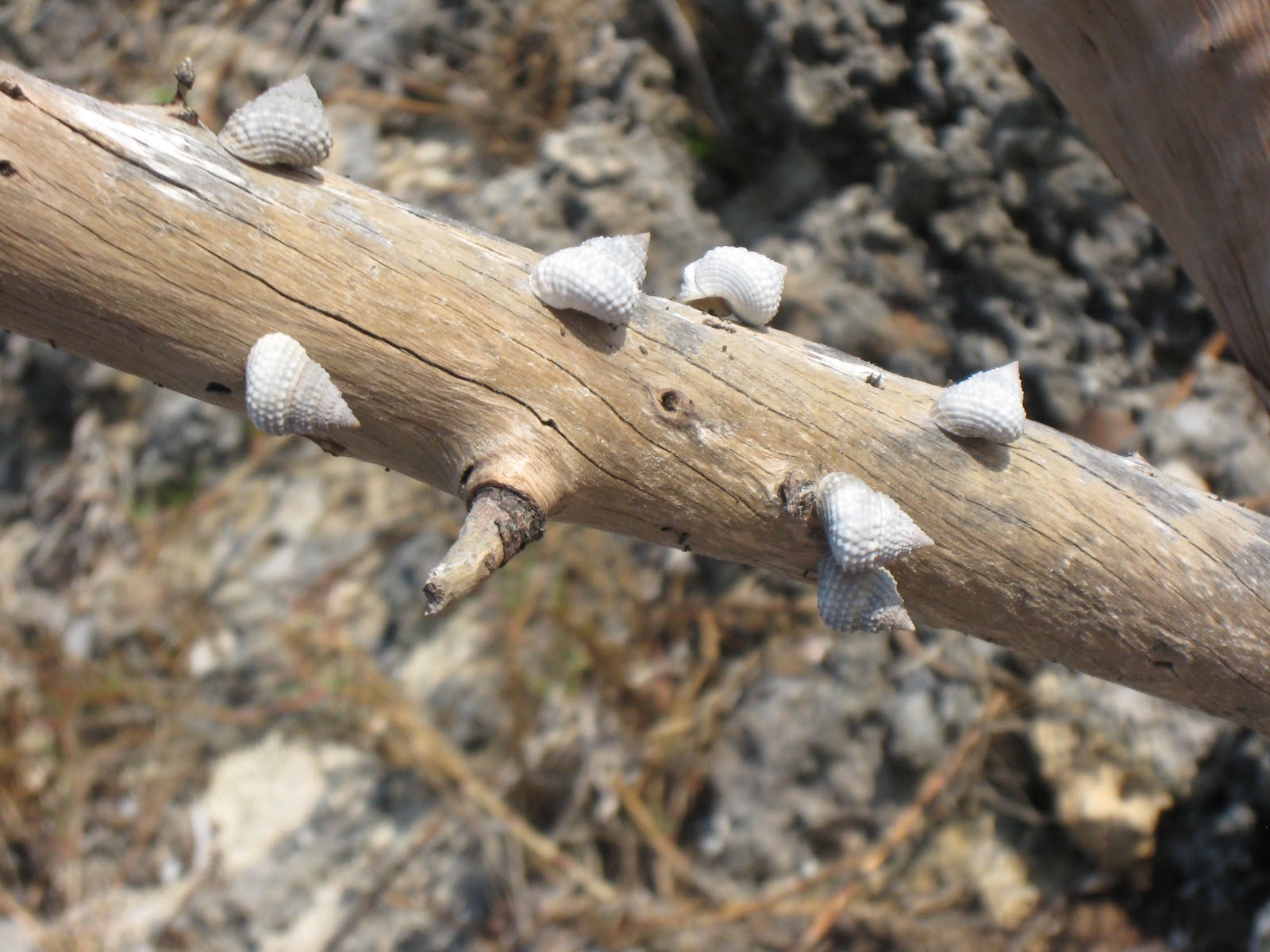
Things you find on the beach . . . .

. . . .and more things on the beach!


February in the Abaco Islands


We returned to Hollywood the first weekend of February for a two week adventure, exploring the Abaco Islands in the Bahamas.  Over that weekend we provisioned Pratique for our first Gulf Stream crossing and waited out the weather until a window opened up.   Saturday, Sunday and  into Monday there were winds with the word “north” in them.  The rule of thumb is to wait 12-24 hours for that “north” component to die off, so there is not opposition of north wind and northerly GS current, which can create some bouncy conditions in the stream.  In the winter that usually that happens with an approaching cold front which clocks the wind around. 

By late Monday the winds were finally diminishing and beginning to clock, so we left the dock and went north up the ICW, then just up the Dania Cut-off Canal to the Harbour Towne Marina, to prepare for a Tuesday morning departure.    There, we filled fuel and water tanks, and had a “bon voyage” dinner with Phil Lambert of Outbound Yachts.   


Tuesday morning, as anticipated, winds were 10-15 kts and out of the southeast.  It was a beautiful morning, but since the wind was almost on our nose, we decided to motor sail across the stream. 


Finally underway!!


The water is warm . . .


and blue!

At 1700 hrs after a pleasant and uneventful crossing, we arrived at the West End of Grand Bahama Island.  So here’s the opportunity to explain our boat’s name, Pratique.  Many cruising sailors are aware of the practice of raising the “Q” flag when approaching a foreign port prior to clearing in.  Less well known is that by raising the Q flag one is requesting “pratique,” which is “the license or permission to use a port, given to a ship after quarantine or on showing a clean bill of health".   Once pratique has been granted, the Q flag is doused and the courtesy flag of the country being visited is hoisted.   The crew is now free to disembark and to do whatever it had in mind!  For us, that was dinner at Old Bahama Bay and sleep!


Next morning, we headed north for Memory Rock, which is the place most boats with our draft (6 ½ feet) enter onto the Little Bahama Bank to go further east to the Abaco Islands.  I have to admit a certain unease with the prospect of the shallow water.  Yes I had spent a good deal of time doing my chart homework, cross referencing a number of different sources.  And different they were--my Raymarine Navionics chart did not match the well respected "Explorer" chartbook for this entrance point.  Since the Explorer charts are considered to be very accurate, I chose to follow the Explorer route.   At 0940 and with great anticipation we arrived at the Memory Rock waypoint and turned to starboard, heading of 92°.  Time to watch the depths:  “150, 120, 60, 30, 20 . . . 15 . . . .12.”  Then, “13, 14, 12, 11, 13 . . . .”  Whew. The charts were right, even at low tide!! 


As you can see, the water was glass and so the entire trip from West End to Great Sale Cay was by motor. 


By the time we passed Mangrove Cay, we were more relaxed about the depths. We spent a good part of the second half of the trip laying out on the forward deck, with the hand held remote control for the autopilot, which kept a constant readout of the depths. Great technology! 


At 1640 we got to Great Sale Cay, an uninhabited island that is a common stop-off anchoring point along the way to or from the Abacos.
 
Sunset at Great Sale Cay
Next stop, Spanish Cay!